(707) 839-5130 | Contact Us
Geologic Evaluation of the Salmon Creek Estuary Enhancement Project
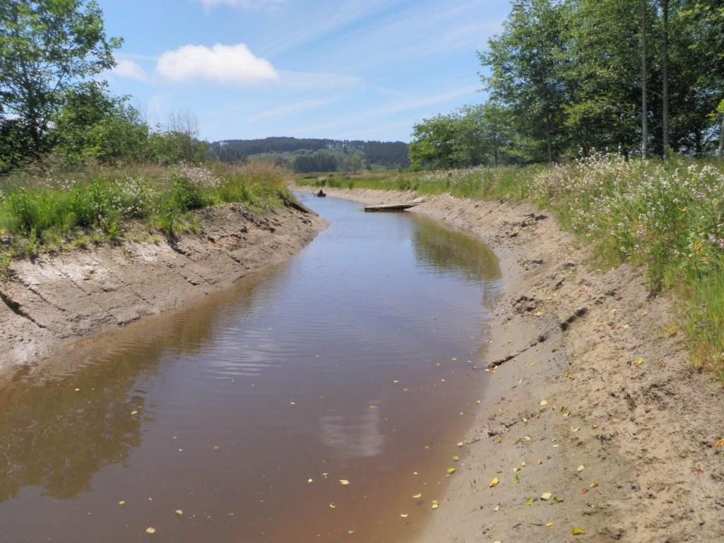
Salmon Creek channel, 1 year following channel excavation
Summary:
PWA performed a geologic evaluation of the upper portion of the Salmon Creek Estuary Enhancement Project.
Client:
U.S. Fish and Wildlife Service
Location:
Humboldt Bay National Wildlife Refuge, Loleta, California
Project Lead (s):
Tom Leroy Project Gallery:
The purpose of PWA's investigation was to compile geologic background material and evaluate potential geologic constraints as they relate to implementing estuary enhancement activities proposed in the development phase (Phase II) of the project.
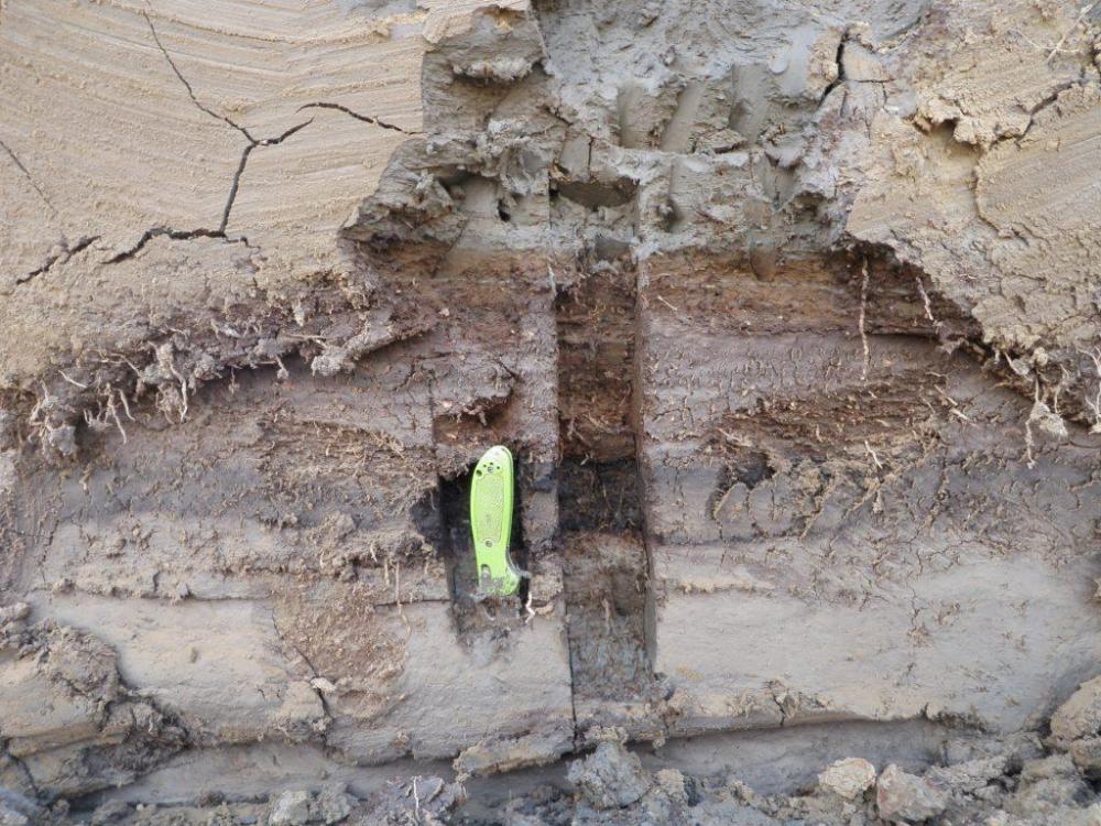
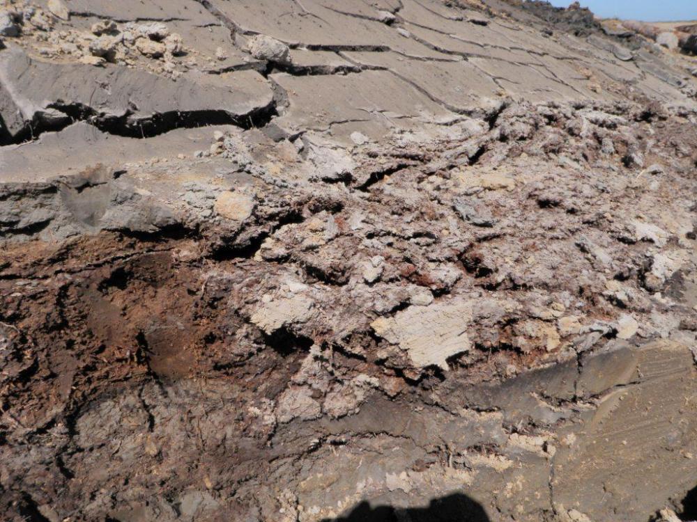
We examined the subsurface stratigraphy at 2 locations in the area where the existing upstream Salmon Creek channel transitioned to the proposed new channel on Humboldt Bay National Wildlife Refuge (HBNWR) lands: (1) within the margins of the existing channel, close to where it currently enters the straight-line ditched channel on the HBNWR; and (2) on the HBNWR property approximately 60 m north of the location where the channel currently transitions to the ditched channel. The subsurface sampling consisted of core sampling at the former location and excavator trenching at the latter. The geologic substrate in the transition area is composed of clay-sand silt deposits overlaying thick bay mud deposits. The historic channel of Salmon Creek was identified in excavator trench exposures and is observed as a generally trapezoidal shaped feature inset into bay mud deposits and overlain by the clayey and sandy silt deposits. The channel deposits consist primarily of poorly sorted sand with secondary fine gravel and finer grained sands and silts.
Several geological constraints to the proposed project were evaluated and recommendations were developed to address them. The primary constraints include: (1) the potential for the newly constructed project channel to be flanked or bypassed by flooding and channel diversion upstream of the HBNWR; (2) the potential for excessive headcutting and incision in the upper part of the proposed channel and the upstream off-property channel due to the expected gradient
increase at the transition between the proposed channel and the existing channel; 3) the functionality and stability of the proposed grade control structures; and (4) other geologic project constraints such as surface fault rupture, hard ground shaking, liquefaction, relative sea-level changes, tsunami inundation, and extreme flooding and sediment deposition.
Services Rendered :
- 14 of 26
- Projects:
- ‹ previous
- next ›
