(707) 839-5130 | Contact Us
Ponderosa Way Road Assessment and Sediment Reduction Plan, Phase I
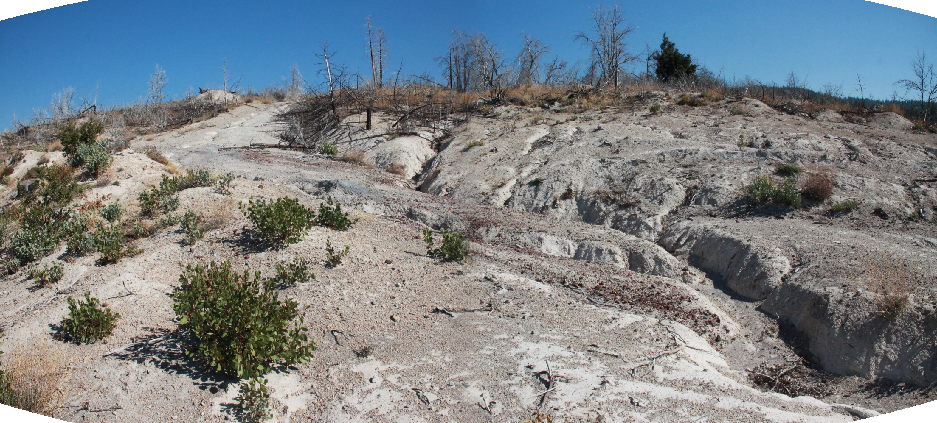
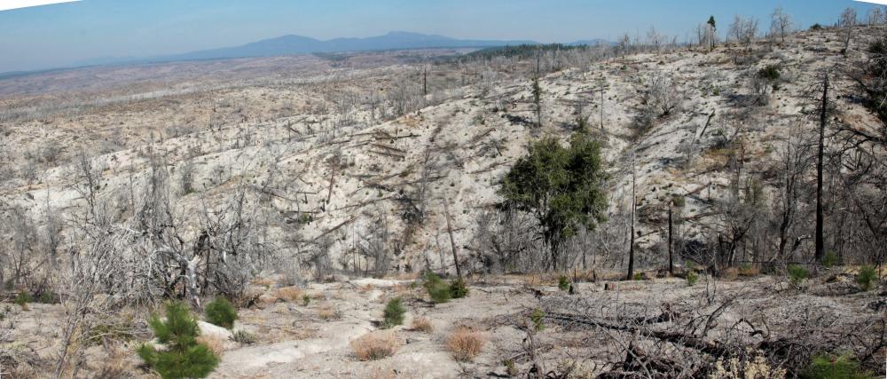
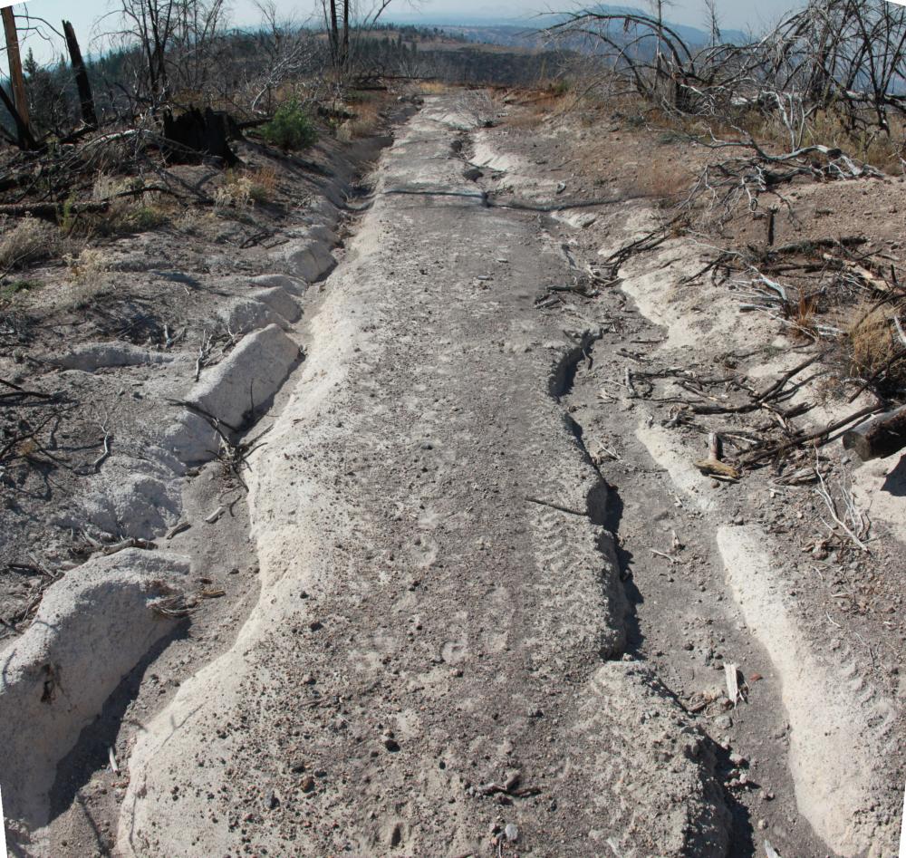
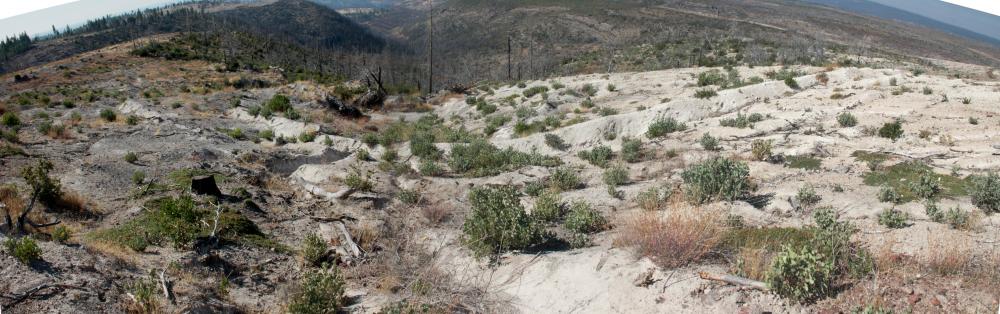
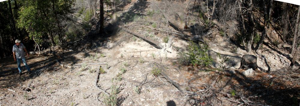
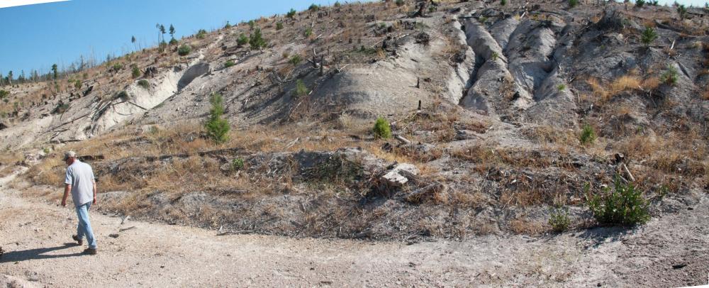
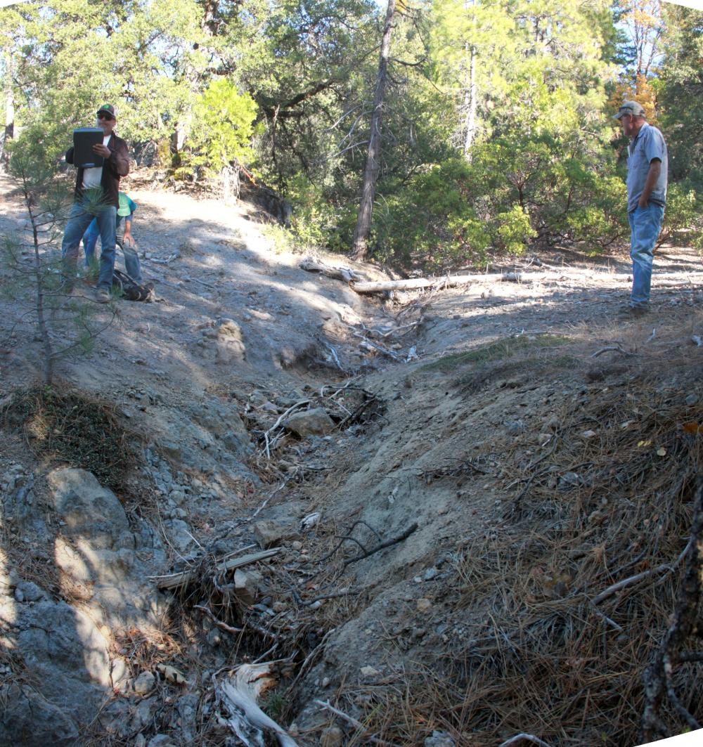
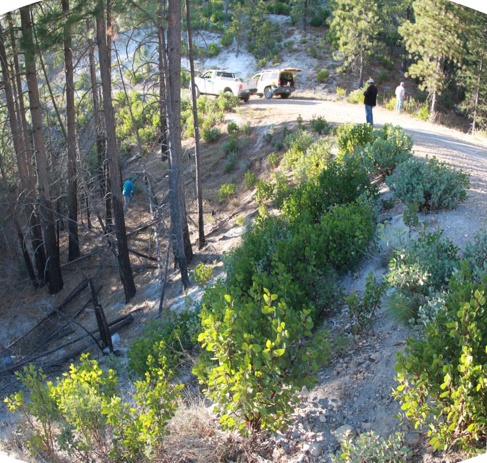
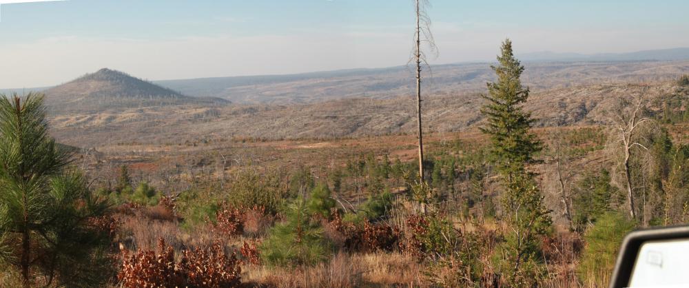
An example of erosion in the project area
Summary:
PWA assessed post-fire erosion and performed sediment remediation to reduce accelerated sedimentation of salmonid habitat in Battle Creek.
Client:
Central Valley Regional Water Quality Control Board (CVRWQCB)
Location:
Tehama County, California
Project Lead (s):
Todd Kraemer Project Gallery:
The Ponderosa Way Road Assessment and Sediment Reduction Plan area is located approximately 27 miles northeast of Red Bluff, California and 35 miles southeast of Redding, California. Ponderosa Way was constructed in the early 1930s and maintained to support land use, public and private access, and wildfire management (Peterson, 2009). All inventoried roads selected as part of this road erosion assessment and sediment reduction planning project contour the steep hillslopes of the South Fork Battle Creek watershed, a tributary to Battle Creek, which is a large tributary to the Sacramento River.
In 2016, as a part of the contract from the Central Valley Regional Water Quality Control Board (CVRWQCB), Resource Conservation District of Tehama County (RCDTC) executed an agreement with Pacific Watershed Associates (PWA) to evaluate the risk of future erosion on the landscape, determine the expected annual sediment yield, and conduct a road related sediment source assessment along Ponderosa Way and in a selected portion of the burn area upslope of, and contributing runoff to, Ponderosa Way and several of its spur roads. The project was funded by Assembly Bill 1492 Timber Regulation and Forest Restoration Fund (TRFRF) and the California Department of Fish and Wildlife (CDFW) Fisheries Restoration Grant Program (FRGP). TRFRF grant oversight is provided by the Central Valley Regional Water Quality Control Board.
Ponderosa Way experienced significant post-fire accelerated erosion triggered by storm events following the 2012 Ponderosa Fire. Beyond the field inventory and assessment of current and future erosion and sediment delivery processes along Ponderosa Way and several of its spur roads, the Ponderosa Way Road Assessment and Sediment Reduction Plan project also included several additional project elements. These included a post-fire watershed and sediment source analysis of the contributing 20.6 square mile watershed area upslope of, and including, Ponderosa Way. This analysis employed two GIS-based erosion and sediment yield models: the CalFire Erosion Hazard Rating (EHR) model and the Water Erosion Prediction Process (GeoWEPP) model. Watershed areas upslope of Ponderosa Way also experienced increased erosion and sediment delivery, and these were observed to contribute to locally severe erosion along the Ponderosa Way road alignment where upslope erosion and flood flows impacted Ponderosa Way. To evaluate the post-fire effects of upslope watershed areas on Ponderosa Way, a field-based erosion assessment was also employed to document post-fire erosion processes and sediment sources along selected mainline logging haul roads and secondary spur roads on private industrial timber property in the burned and unburned watershed areas upslope of Ponderosa Way.
The results of the modeling analysis, the upslope field-based erosion assessment, and the field erosion inventory of Ponderosa Way were compiled into an Action Plan for erosion and sediment control treatments. That overall analysis lead to several follow-up projects including 1) implementation of a 1.0 mile road surface drainage improvement and sediment reduction project (2019 Demonstration Project) near Bluff Springs and 2) preparation of a 3.5 mile road decommissioning project proposal, extracted and derived from the overall Action Plan, to reduce accelerated road erosion near Grapevine Springs. Both projects are on high priority sections of Ponderosa Way that exhibit serious ongoing and/or potential erosion and sediment delivery problems that impact local streams and the North Fork Battle Creek.
Funding for this project has been provided in full or in part through an agreement with the State Water Resources Control Board and the U.S. Environmental Protection Agency under the Federal Nonpoint Source Pollution Control Program (Clean Water Act Section 319).
Services Rendered :
- 2 of 26
- Projects:
- ‹ previous
- next ›
