(707) 839-5130 | Contact Us
Physical Processes, Geomorphology and Management Options for the Coastal Sand Dunes of Humboldt Bay
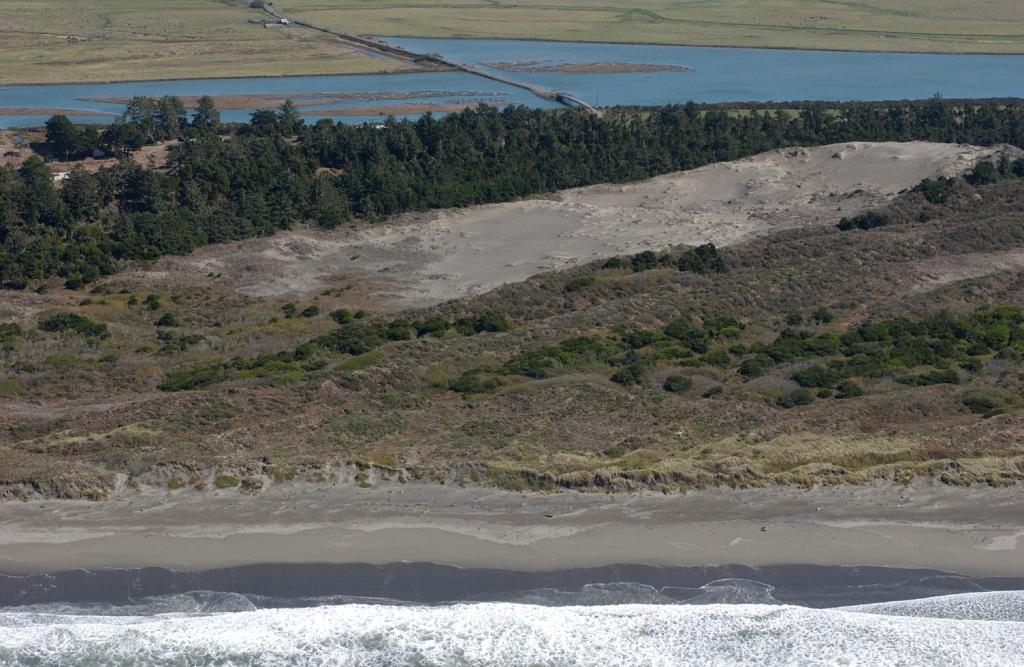
Oblique aerial photo showing the Lanphere Dunes (foreground) and Mad River Slough (background)
Summary:
Pacific Watershed Associates was retained to characterize the geomorphology of the current and historic dune system along 21 miles of coastline bordering Humboldt Bay and recommend management options based on natural coastal processes and current and historic anthropogenic impacts
Client:
Humboldt County Planning Department
Location:
Humboldt County, California
Project Lead (s):
Bill Weaver Project Gallery:
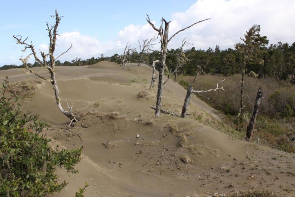
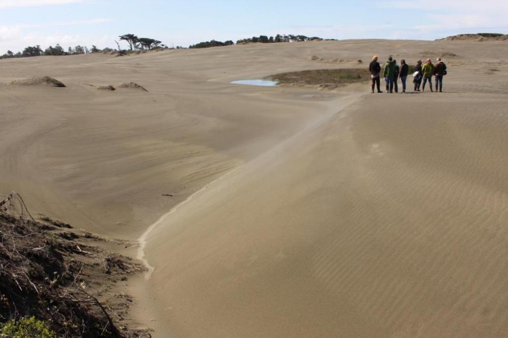
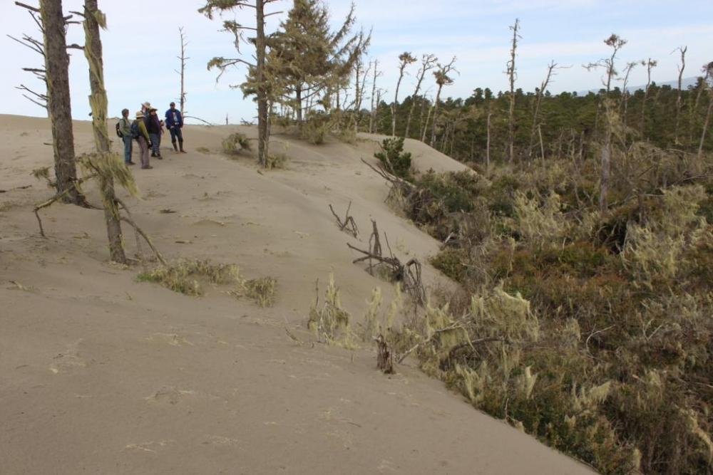
This study was a resource investigation conducted to provide data and recommendations regarding the condition and effects of possible management and recreation strategies being considered for the coastal dune systems in the Humboldt Bay area. The coastal dune fields bordering the western margin of Humboldt Bay contain some of the most extensive and least disturbed dune environments in California, while some other areas have been heavily impacted by development and recreational vehicle use. Although northern portions of the dune system are locally intact and operating as they would under natural conditions, decades of residential development, recreational activities, and non-native plant invasion in many areas necessitated an evaluation of the historic and current geomorphic conditions. This project was undertaken as a part of a larger planning process that ultimately led to adoption of a long term, sustainable beach and dunes management plan that was consistent with environmental conservation and county coastal development goals.
Specifically, Pacific Watershed Associates was contracted to:
• Conduct a literature review and compile information on physical processes which control this and similar coastal dune systems
• Review local shoreline processes, and discuss their possible effects on coastal dune processes
• Map active and currently dormant coastal dune fields
• Identify and describe human-caused disturbances to the dune system and environment, and determine the relative susceptibility of various dune forms to accelerated erosion
• Outline methods for monitoring and quantifying future human disturbances on dune processes and forms
• Outline various management recommendations, strategies, and techniques which can be employed to limit unnecessary damage to the physical dune system resulting from future recreational activities
Since completion of this coastal dune assessment PWA has completed geomorphic analyses related to potential development, recreational use, and restoration options for the Tomales Dunes in Marin County, McKerricher Dunes in Mendocino County, and Tolowa Dunes in Del Norte County.
Services Rendered :
- 23 of 26
- Projects:
- ‹ previous
- next ›
